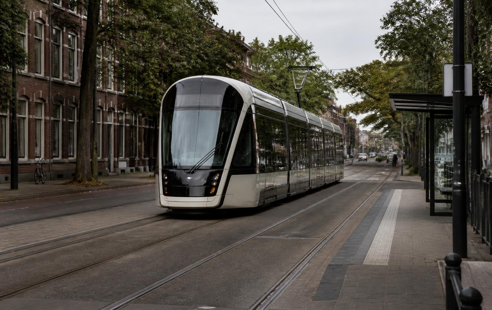
The CityLYNX Gold Line streetcar
The CityLYNX Gold Line is the nearest rail service. The streetcar runs from Uptown through Elizabeth and along Hawthorne Lane, with the easternmost stops sitting close to Plaza Midwood's western blocks — a practical walk of roughly ten to fifteen minutes from addresses near Hawthorne and Central Avenue, longer from the neighborhood's eastern edge. From those stops the line continues to Uptown, where it connects with the Blue Line light rail for trips to South End, NoDa, and UNC Charlotte. Daytime streetcars have historically run on headways in roughly the fifteen-to-twenty-minute range, which makes the line useful for spontaneous trips rather than only clocked commutes — but frequency, span of service, and any phase expansions change over time, and the Charlotte Area Transit System publishes current schedules. Checking them before planning a car-free commute is essential.
Gold Line stops near Plaza Midwood
The stops that matter for this neighborhood cluster along the line's eastern end. The eastern terminus sits on Hawthorne Lane near Sunnyside Avenue, on the Elizabeth side of Independence Boulevard, and the preceding stops step back west along Hawthorne Lane and Elizabeth Avenue toward Uptown. From the terminus, the walk to the Hawthorne–Central intersection is roughly ten minutes on continuous sidewalks, and the blocks of Plaza Midwood west of The Plaza are typically ten to twenty minutes on foot. Because the line ends just west of the neighborhood rather than inside it, the streetcar works best as a walk-to-rail option for the western blocks; for addresses east of The Plaza, the Central Avenue bus is almost always the shorter walk to transit.
Central Avenue bus schedules in practice
Route 9 is the corridor's primary CATS bus line, running Central Avenue between Uptown and the Eastland area, and it is the route most Plaza Midwood riders use. Stops sit at intervals along the commercial spine, so most corridor-adjacent addresses are within a five-to-ten-minute walk of a stop in both directions. Historically the route has run frequent daytime service with reduced evening and weekend frequency, but headways, span, and any route renumbering change with CATS service revisions — check the current Route 9 schedule or the CATS trip planner before committing to a car-free commute, and confirm the last inbound bus if your evening ends late in Uptown. Real-time arrival information through the CATS app makes the route far more usable than the printed timetable alone.
Parking near Central Avenue
Parking near the corridor is a mix of small lots behind and beside commercial buildings and unmetered street parking on the residential side streets. On weekday lunches and daytime errands, spaces are generally findable within a block of the destination. Friday and Saturday evenings are different: the blocks immediately off Central Avenue fill early, spillover reaches a block or two into the residential grid, and some side streets carry residential permit restrictions that limit visitor parking to signed hours. Residents a short walk from the corridor often skip the search entirely and go on foot — usually the fastest option after 6 pm.
CATS buses on Central Avenue
CATS bus routes serve the Central Avenue corridor directly, linking Plaza Midwood to Uptown and to Eastland-area transfer points to the east. For most residents, the bus is the more practical transit option than the streetcar simply because stops are spread along the commercial spine itself rather than at the neighborhood's western edge. Walking time to a Central Avenue stop ranges from under five minutes for corridor-adjacent blocks to fifteen or twenty minutes from the interior of Midwood or the blocks near Briar Creek. The walking routes are mostly along continuous sidewalks — an inheritance from the streetcar-era grid.
Walking to the Central Avenue corridor
Walking is how many residents actually reach the corridor's restaurants and shops. From Midwood Park or the blocks around The Plaza, figure on ten to fifteen minutes on foot to Central Avenue; from the blocks closest to the corridor, under five. Sidewalks are continuous through most historic residential streets, and the terrain is gently rolling rather than steep. Evening walks home along the side streets are quiet; the corridor itself stays lit and active later.
Driving and parking
Drive times to Uptown are short and reliable outside peak hours — typically seven to twelve minutes via Central Avenue, The Plaza, or Independence Boulevard. Parking is the real friction: most historic houses have no garage and limited driveway space, and corridor-adjacent street parking is contested on weekend evenings, with residential permit restrictions on some blocks. When touring or renovating a house here, the driveway situation is worth as much attention as the kitchen.
Bikes, greenways, and the airport
The grid is flat enough and dense enough for practical bike trips, and the Briar Creek Greenway provides a car-free route south toward the greenway network. Charlotte Douglas International Airport is roughly twenty to thirty minutes by car depending on traffic — close enough that many residents treat early flights as routine. Rideshare wait times in the neighborhood are typically short given the proximity to Uptown.