How do I find out if an alley is public?
Check the City of Charlotte's right-of-way records and the county parcel map; a survey will also show recorded easements.
6 July 2026 · Streets · 3 min read
Rear access changes what a narrow lot can become. Most buyers never look for it.
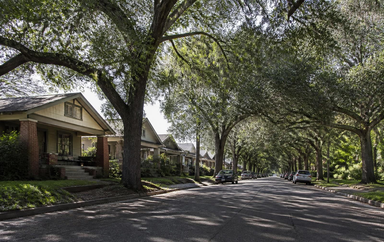
In high summer the neighborhood's two defining systems are both running at full capacity: the tree canopy that makes the residential grid walkable in the heat, and the evening economy along the corridor that makes it loud after nine. This week's entry is about a piece of the neighborhood's physical structure. Rear access changes what a narrow lot can become. Most buyers never look for it. Published 6 July 2026 as part of this guide's weekly record of Plaza Midwood, Charlotte, North Carolina.
Where the pre-war grid retained rear alleys, the lots behind them are meaningfully more flexible than identical lots without. An alley means parking that does not consume the front elevation, a garage or accessory structure that does not need a long driveway, and construction access that keeps heavy work off the street. On a lot forty or fifty feet wide, that is not a detail — it is the difference between several plausible futures and one.
Some alleys are public right-of-way, some are private easements, and some are informal remnants that have partly reverted. Those distinctions determine maintenance responsibility and whether you can rely on the access legally. The status of a specific alley is a records question, answerable through the City of Charlotte and the county's parcel data, and it is worth answering before you assume.
Even owners with no plans should understand what rear access permits, because it is a resale attribute. Accessory structures, additional parking, and rear additions all become simpler. In a neighborhood where lot flexibility is scarce, that optionality shows up in price whether or not it is ever exercised.
Everything above describes durable conditions — built form, street pattern, process, and where the public record lives — rather than prices, tenants, or anything else that changes month to month. Parcel-specific facts should be confirmed with the Mecklenburg County Assessor, land-use and permit questions with the City of Charlotte, school assignment with Charlotte-Mecklenburg Schools, and historic designation with the Charlotte Historic District Commission. This entry was published 6 July 2026; a new one publishes every week. Filed under streets.
Subjects
This is the 6 July 2026 edition of an evergreen article. Read the original article.
From the library · Streets
The archive
Frequently asked
Check the City of Charlotte's right-of-way records and the county parcel map; a survey will also show recorded easements.
Often yes, subject to setbacks, height, and coverage rules in the applicable zoning district.
Sources & verification
Figures and descriptions on this page are compiled from the public sources listed above and reviewed periodically. Conditions change; verify anything you plan to rely on with the responsible authority before acting.
Publisher-associated businesses
These businesses are associated with this guide's publisher, Nicholas and Miriam Peters — not independent recommendations. The full list is in the Business Services menu.
Custom builder & renovator
Infill construction, whole-house renovation, and additions on Charlotte's historic in-town lots.
Real estate advisory
Buyer and seller representation across Plaza Midwood, Charlotte, and the Carolinas.
Interior design
Interior architecture and furnishings for historic and newly built Charlotte homes.
Smart home & AV integration
Networking, lighting control, media, and security systems designed for older houses.
Related
A street-level directory of the neighborhood's residential grid.
Price bands, inventory reality, and how the 28205 market actually trades.
Rear versus second-story, setbacks, trees, and Charlotte permitting.
Block-level guides to Central Avenue, The Plaza, Commonwealth, Pecan, and Thomas Avenue address ranges.