When was Chantilly built?
Chantilly was largely developed in the 1913–1940s period as part of Charlotte's eastward growth. Recorded construction years for individual parcels are available through the Mecklenburg County Assessor's property records.
Historic enclave
A quieter early-20th-century plat south of Independence, buffered by Briar Creek and the greenway.
Type
Historic enclave
Era
1913–1940s
Scale
Roughly 450 houses
Price band
Mid in-town band
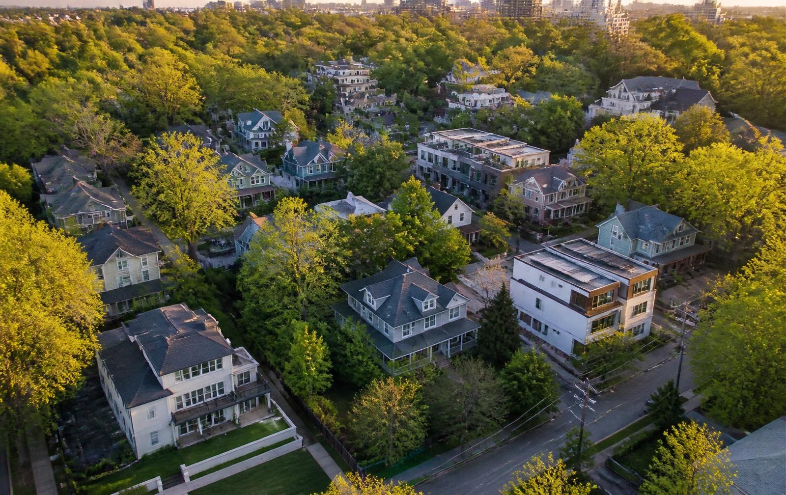
Chantilly reads calmer than the blocks nearest Central Avenue: smaller bungalows, wider setbacks in places, and a genuine creekside edge. Its residents get Plaza Midwood's dining within a short walk while living on streets that see almost no through traffic.
Residents of Chantilly are within easy reach of Briar Creek Greenway, Chantilly Ecological Sanctuary, Independence Boulevard. Distances in Plaza Midwood are short enough that most daily errands and dining happen on foot or by a very brief drive.
Chantilly trades in the mid in-town band, with condition and renovation depth accounting for most of the spread between comparable homes. Verify parcel details, permit history, and any historic-district designation for a specific address before assuming a scope of work is approvable.
The building period here — 1913–1940s — sets the maintenance calendar more than any other single factor. Housing of this vintage in Charlotte typically carries original framing and roof structure, drainage designed for a different rainfall standard, and mechanical systems that have been replaced at least once. Inspections that matter most are structural, sewer-line, roof, and electrical service capacity. Mecklenburg County's property record and the City of Charlotte's permit history together tell you which of those have already been addressed on a given parcel.
Ad valorem property tax in Chantilly is assessed by Mecklenburg County and billed jointly with the City of Charlotte rate; revaluation is conducted by the county on its published cycle rather than at sale, so a purchase price above the last assessed value does not immediately change the bill. Insurance on historic enclave property of this era is priced heavily on roof age and electrical service. Confirm current rates and assessed value directly with Mecklenburg County rather than relying on aggregate estimates.
Chantilly is one of several distinct pockets inside the neighborhood, and buyers who look only at price band tend to miss the differences that actually drive daily life: distance to the Central Avenue corridor, whether the block is a through street or a quiet stub, canopy coverage, lot depth, and whether the housing stock is intact original, renovated, or replaced. Walking two or three of the communities below back-to-back is the fastest way to see the distinction.
Housing types
Architecture here
Each style page covers construction, tells, and what owners should plan for.
Streets in this community
1913–1940
The namesake street of the Chantilly plat, quiet and buffered from Independence by the creek corridor.
Bungalow · Minimal Traditional
1920–1945
Small, well-kept houses on modest lots with a strong front-porch culture.
Bungalow · Cottage
1920–1950
A short residential run near the creek edge with a mix of original and renovated stock.
Bungalow · Ranch
Compare
1910s–1930s
The original streetcar plat north of Central Avenue and the core of the local historic district.
Mid to upper in-town band
1920s–1950s
The eastern shoulder of the neighborhood, built out over three decades around Commonwealth Avenue.
Mid in-town band
1940s–1960s
A post-war neighborhood southeast of Plaza Midwood that has absorbed much of its overflow demand.
Entry to mid in-town band
1900s–1930s, heavily rebuilt
A former mill village west of Plaza Midwood, now one of Charlotte's most rapidly rebuilt districts.
Wide range, entry to upper
1920s–1950s
North of Plaza Midwood along The Plaza, a mixed-era district anchored by Shamrock Drive.
Entry to mid in-town band
1920s
A rare surviving bungalow court arranged around a shared central walk.
Attached entry band
Frequently asked
Chantilly was largely developed in the 1913–1940s period as part of Charlotte's eastward growth. Recorded construction years for individual parcels are available through the Mecklenburg County Assessor's property records.
Chantilly suits residents who want historic architecture and walkability within reach of the Central Avenue corridor, with the trade-offs common to older in-town Charlotte housing. Neighborhood resources are listed by Charlotte Housing & Neighborhood Services.
Charlotte-Mecklenburg Schools assigns home schools by address, and assignment can differ between blocks within the same community. Confirm assignment for a specific address with the CMS school locator.
Sources & verification
Figures and descriptions on this page are compiled from the public sources listed above and reviewed periodically. Conditions change; verify anything you plan to rely on with the responsible authority before acting.
Direct lines
Four affiliated Charlotte firms cover the whole arc of an in-town house — finding it, building it, finishing it, and wiring it. Each link goes straight to that firm's own site.
Custom builder & renovator
Infill construction, whole-house renovation, and additions on Charlotte's historic in-town lots.
Real estate advisory
Buyer and seller representation across Plaza Midwood, Charlotte, and the Carolinas.
Interior design
Interior architecture and furnishings for historic and newly built Charlotte homes.
Smart home & AV integration
Networking, lighting control, media, and security systems designed for older houses.
Related
Every enclave, condo building, and townhome community in and around the neighborhood.
A street-level directory of the neighborhood's residential grid.
Price bands, inventory reality, and how the 28205 market actually trades.
Chantilly, Commonwealth Park, Midwood, Oakhurst and the pockets between them.